Contact
+1 (407) 729-6899
Location
Sugar Land, Texas 77487, U.S.A
INAUSA
Ilaje National Association of USA (INAUSA) is a 501 (c) (3) United States incorporated non-profit, non-sectarian, non-political, all-inclusive, civic organization. INAUSA is dedicated to the promotion of Ilaje unity, progress and strength, and to the protection and support of her culture, custom and heritage. Membership includes persons of Ilaje ancestry and everyone who shares the same interests and aspirations. The organization is a national association comprising several state chapters.
INAUSA


ILAJELAND
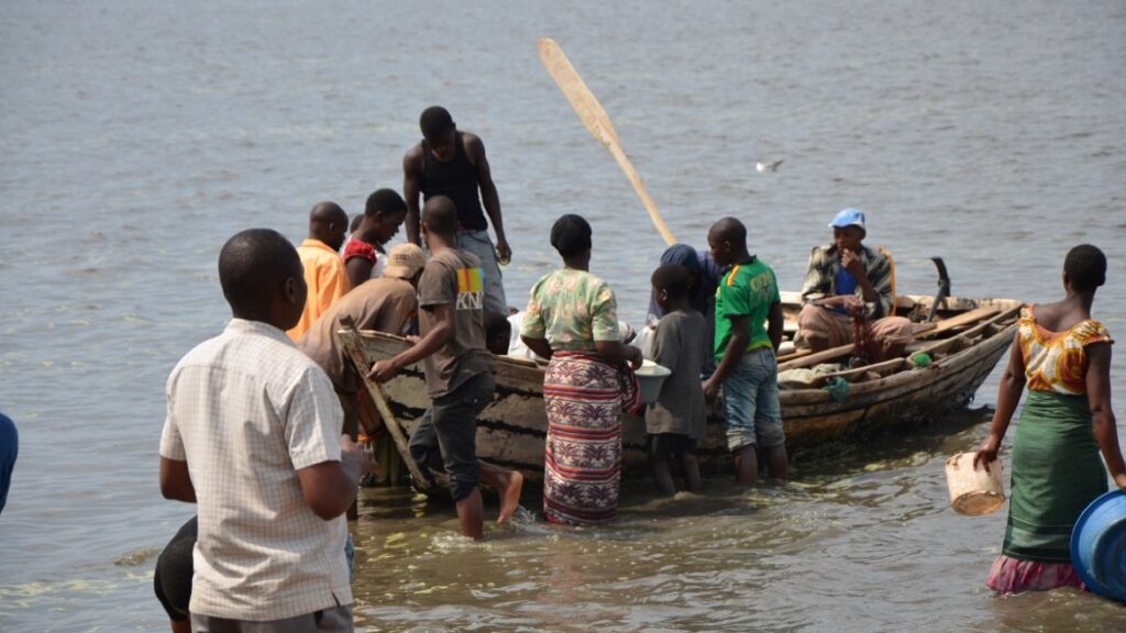
The Ilajes are a distinct migratory coastal linguistic group of Yoruba peoples spread along the coastal belts of Ondo, Ogun, Lagos and Delta states, and originally made up of four geo-political entities namely: Ugbo, Mahin, Etikan and Aheri kingdoms. While most towns and villages in the Mahin kingdom (Ode Mahin) are distributed on arable lands, the towns and villages in the other three geo-polities of Ugbo, Aheri and Etikan kingdoms are spread out along the beaches and swampy terrains of the Atlantic Ocean coas
What you probably did not know about Ilaje Local Government, Ondo State
Ilaje Local Government was created out of the defunt Ilaje/Ese Odo Local Government on October 1st 1996 by the Federal Government. It consists of over four hundred towns and villages, covering an area of 234,000 square kilometers.
Ilaje Local Government is the largest Local Government in Ondo State in terms of landmass. According to the 1991 population, the Local Government is one of the most populated in Ondo State with a population figure of 227,034. It has a shoreline covering about 180km thereby making Ondo State, the state with the longest coastline in Nigeria. Crude oil which is the main stay of the Nigeria economy is being explored and exploited in the Local Government area likewise Bitumen for which exploitation will soon begin. Ondo State is therefore one of the Oil producing state in the Federation.
The Local Government has the largest coconut plantation in West Africa. It also has a large deposit of Silica sand that could be found in the various parts of the Local Government.
Population Figure – 290615 (2006 Population)
Geographical Location – The Local government is bounded in the North by Okititpupa Local Government, in the south by the Atlantic Ocean, in the East by Ese-Odo Local Government and Delta State and in the West by Ogun State.
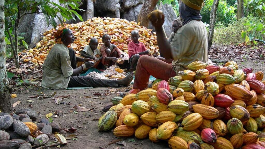
Natural Resources – Abur, Mohogany, White & Black Afara, Palm tree, White solid sand for glass Production etc.
Mineral Resources – Petroleum and Bitumen
Economic Potential – Trading, Fishing, Timber. Boat Construction, Local Gin and Shipping
Tourist Attraction – A shore line of about 190km complete with green grass land and shrobs and Atlantic Ocean, presents a beautiful sight and conducive weather for leisure.
An imposing sculpture of a fisherman, at the local government main beach at Igbokoda attract scholars to the area.
